Industries
Industries We Serve

Transforming cities with precise mapping and zoning solutions, enabling efficient land-use planning, infrastructure development, and smart city initiatives.
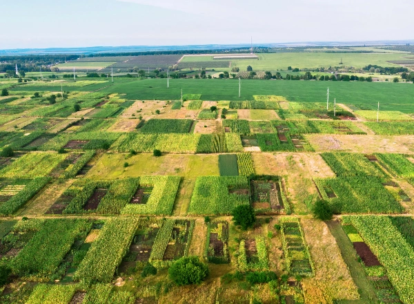
Supporting precision farming with high-accuracy geospatial data for crop monitoring, land use optimization, and sustainable agricultural practices.
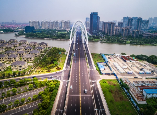
Providing critical insights for planning, constructing, and maintaining infrastructure projects such as roads, bridges, and railways.
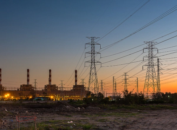
Enhancing asset management and optimizing utility networks, including power lines, water pipelines, and telecommunications systems.
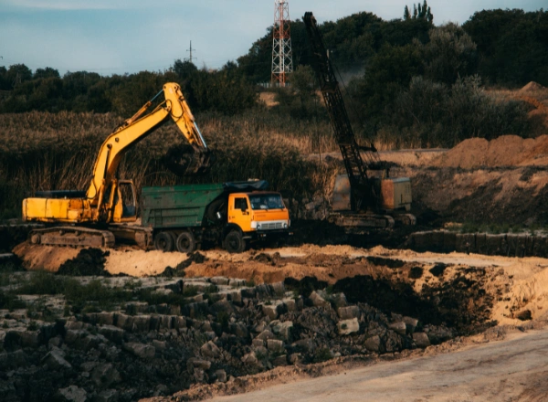
Offering advanced geospatial solutions for resource exploration, terrain mapping, and operational safety in the mining sector.
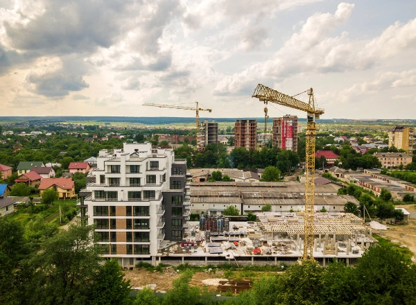
Delivering high-precision surveys, 3D modeling, and BIM solutions to improve project planning, execution, and efficiency in construction and real estate development.

Enabling route optimization, fleet management, and infrastructure planning with geospatial intelligence.
Talk to us?